





Mithi Khadi Flood Risk: Experts Seek Common Datum, Scientific Study
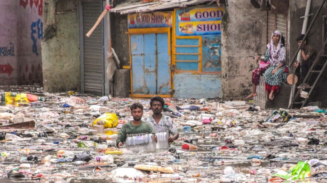
SURAT: A mismatch between reported water levels in Surat’s Mithi Khadi has raised a critical technical question over how flood risk is being measured — and experts say the answer must begin with a...

SURAT: A mismatch between reported water levels in Surat’s Mithi Khadi has raised a critical technical question over how flood risk is being measured — and experts say the answer must begin with a common vertical reference system rather than assumptions about rainfall or drainage failure.
While overtopping has reportedly occurred around RL 8.50 metres at some locations, the danger level at the relevant monitoring point is RL 9.35 metres, creating a difference of about 0.85 metres. Dr Pankaj Gandhi, urban planner, engineer and researcher, has called for a scientific investigation to establish whether both measurements are based on the same vertical datum.
“The first question should be from which vertical datum both water levels have been measured, rather than immediately asking why the water rose,” Dr Gandhi said.
He stressed that the 9.35-metre danger level is a flood-warning level, not a vertical datum. Without linking gauges, benchmarks and survey data to a common reference, comparing readings from different surveys, maps and hydraulic studies could produce misleading conclusions.
The proposed investigation calls for a permanent benchmark network connected to the official national datum, with all gauges, bridges, drains, roads, embankments and other structures surveyed against the same reference.
Experts also recommend examining Mithi Khadi’s current cross-sections, bottom levels, bank heights and effective water-carrying capacity. Silt accumulation, narrow sections, bridges and culverts could reduce flow capacity and raise upstream water levels.
The assessment further points to the need to study the combined effects of rainfall, tides, downstream water levels, backwater, drainage discharge and physical obstructions.
“A hydraulic model is only as reliable as its datum and elevation data,” Dr Gandhi said, calling for one- and two-dimensional hydrodynamic modelling calibrated against previous flood events.
The proposed approach involves three phases: establishing a common vertical datum and benchmark network; conducting a comprehensive survey of Mithi Khadi and its drainage infrastructure; and using modelling to identify locations requiring targeted desilting, flow restoration or structural improvements.
“The 0.85-metre difference should neither be ignored nor immediately attributed to one cause,” Dr Gandhi said. “First establish the common datum, then scientifically model rainfall, tides, backwater, silt and carrying capacity.”
He recommended that the Surat Municipal Corporation adopt a long-term framework of “Common Vertical Datum → Standardised Survey → Hydrodynamic Model → Targeted Restoration → Continuous Monitoring” to strengthen Surat’s flood resilience.