



LiDAR Alone Won’t Save Surat From Floods, Expert Warns SMC
SURAT : The Surat Municipal Corporation’s (SMC) decision to rely on LiDAR technology for flood protection has drawn sharp criticism from urban flood management experts, who argue that the move...

SURAT : The Surat Municipal Corporation’s (SMC) decision to rely on LiDAR technology for flood protection has drawn sharp criticism from urban flood management experts, who argue that the move risks creating a false sense of preparedness while ignoring the real causes of flooding in the coastal city.
Urban Flood Management Specialist Dr. Pankaj Gandhi has warned that although LiDAR (Light Detection and Ranging) is a powerful technology for mapping land elevations and creating three-dimensional terrain models, it is not a complete flood management solution for Surat, where flooding is driven by a complex combination of rainfall, tidal influence, Tapi River flows, siltation, drainage failures and climate change.
“LiDAR is an excellent survey tool, but it is only one piece of the puzzle. Using LiDAR alone for flood prevention is scientifically inadequate and may lead to flawed planning,” Dr. Gandhi said.
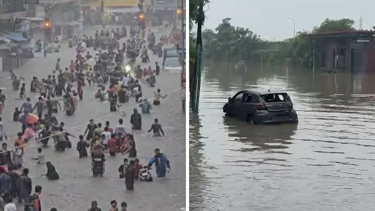
According to the expert, Surat’s biggest flood threats arise from the interaction between intense rainfall, high tides in the Arabian Sea, the backwater effect in the Tapi River, blocked stormwater drains and rapid urbanisation. None of these dynamic factors can be fully analysed through LiDAR mapping alone.
Dr. Gandhi pointed out that LiDAR cannot assess the underwater condition of riverbeds, creek depths or sediment accumulation, which directly affect the water-carrying capacity of the Tapi River. He said hydrographic surveys and echo sounding are essential to understand these hidden risks.
He also noted that the technology cannot inspect underground stormwater pipelines for blockages, damaged sections, illegal connections or pumping station performance.
“Surface mapping does not reveal what is happening below the ground. A city floods because its drainage system fails, not because its terrain is unknown,” he said.
The expert further stressed that LiDAR cannot predict tidal backwater effects, simulate water flow during extreme rainfall or estimate how long floodwaters will remain in affected neighbourhoods. Such analysis requires hydrological and hydrodynamic models such as HEC-RAS, SWMM and MIKE FLOOD, along with climate change simulations.
Dr. Gandhi cited several international examples where advanced LiDAR mapping failed to prevent devastating floods. These include Houston during Hurricane Harvey in 2017, the Germany and Belgium floods of 2021, and India’s Chennai (2015) and Bengaluru (2022) floods. In each case, experts later concluded that digital terrain data alone could not compensate for inadequate drainage systems, poor urban planning and the absence of integrated flood modelling.
Instead of treating LiDAR as the primary solution, Dr. Gandhi has urged SMC to develop a comprehensive flood management framework combining bathymetric surveys, sediment transport studies, drainage audits, tide and backwater analysis, flood inundation mapping, AI-based flood forecasting and climate change impact assessments.
He also recommended creating a Digital Twin of Surat that integrates real-time rainfall, river discharge, tidal movements and IoT-based water level sensors to improve forecasting and emergency response.
“Technology should support scientific planning, not replace it. Surat needs an integrated urban flood management plan that looks 25 to 50 years ahead instead of depending on a single survey technology,” Dr. Gandhi said.