
Gujarat Police & MapmyIndia Join Hands for Real-Time Traffic Management
Motorists in Gujarat to receive real-time alerts on accident zones, road closures, speed limits, and traffic updates through MapmyIndia’s upgraded safety features.
Advertisement
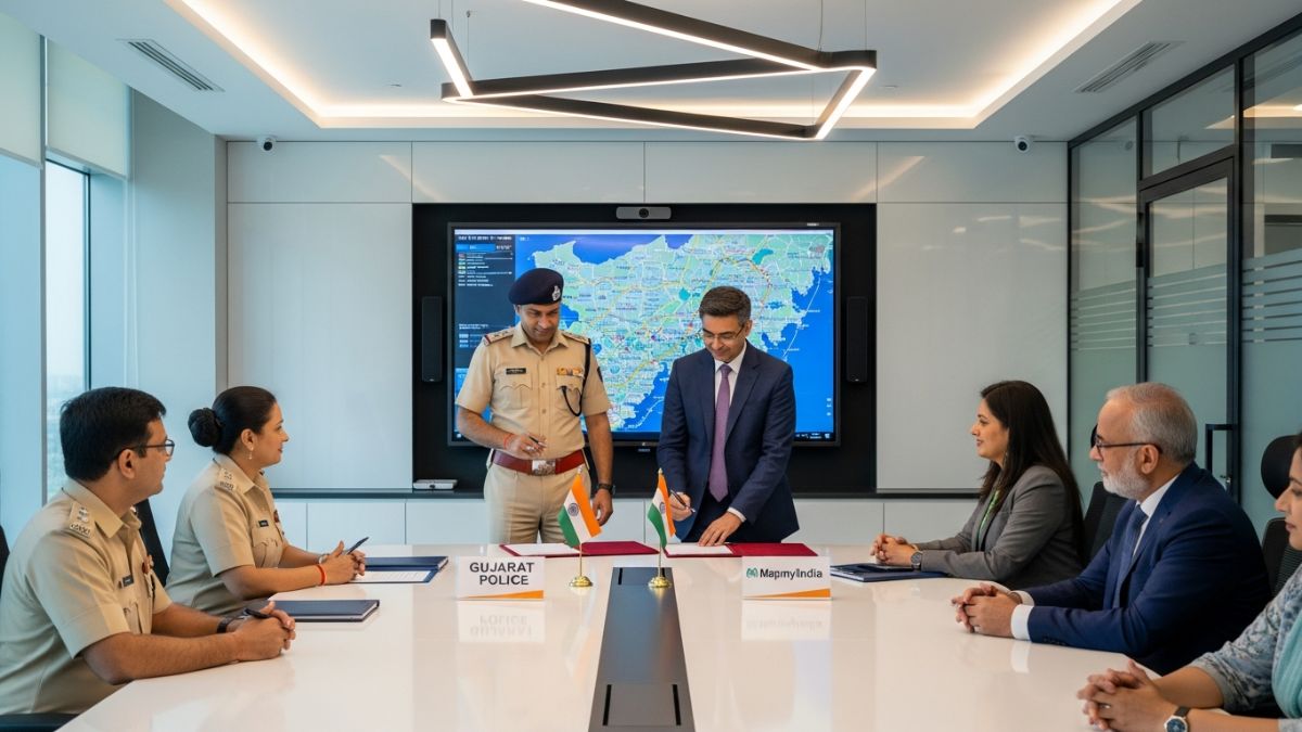
Ahmedabad | Gujarat — In a landmark step toward elevating road safety and easing traffic movement across Gujarat, the Gujarat Police has signed a significant Memorandum of Understanding (MoU) with indigenous navigation app MapmyIndia. The collaboration brings advanced, real-time road safety features directly to motorists—making Gujarat one of the first states to integrate black spot data, accident zones, speed limits, and live traffic advisories into a single citizen-friendly app.
Calling the initiative a “people-first transformation in traffic management,” a senior official from the State Traffic Branch said, “Our primary goal is to prevent accidents before they happen. Technology is the strongest tool to save lives, and this partnership ensures every motorist has access to critical safety information at their fingertips.”
Black Spot & Accident Zone Alerts Now Live
MapmyIndia has integrated updated data of Gujarat’s black spots and potential accident zones provided by the State Traffic Branch. These locations—traditionally known for frequent accidents—will now trigger alerts in the app, allowing motorists to slow down and stay cautious.
A senior MapmyIndia representative shared, “This is not just navigation. This is safety-led navigation. With Gujarat Police providing verified data, our systems can warn users well in advance and help them make safer driving decisions.”
In addition to accident-prone zones, updated speed limits have also been mapped precisely onto the app. This ensures that drivers are aware of permissible speeds across highways, rural stretches, city roads, and poorly lit patches where accidents are more likely.
Real-Time Traffic Advisory: Road Closures, Diversions & Events
Under the MoU, Gujarat Police will provide daily real-time traffic advisories, including:
Road closures
Construction and repair work
Rallies, VIP movements, and large public events
Diversions and alternative route suggestions
These updates will reflect immediately on the app, enabling smoother route planning and reduced travel time.
An official from the department noted, “Citizens will no longer be caught off guard by sudden traffic blocks or diversions. Our updates will help people choose better routes and avoid delays.”
Training & Implementation Across Gujarat
To execute the initiative seamlessly, police teams across all districts have already been trained via a statewide WhatsApp-based coordination system. Data updation work has started, and inputs are being shared with MapmyIndia on a continuous basis.
Police Appeal Citizens to Download the App
The Gujarat Police has urged citizens to download MapmyIndia and make full use of the customised safety alerts and live traffic data.
“If every motorist uses the app, we can significantly reduce accidents and make Gujarat’s roads safer for all,” the department stated.
With this MoU, Gujarat stands at the forefront of technology-driven road safety—transforming how people travel, navigate, and stay safe on the road.
Advertisement